How to use Google Maps Google Maps Related Information Walking Public Transport Cycling Taxis
Useful Links


How to use Google Maps Google Maps Related Information Walking Public Transport Cycling Taxis

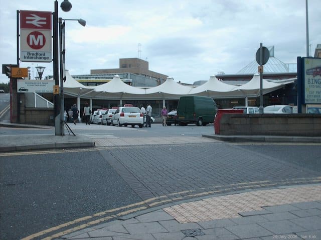
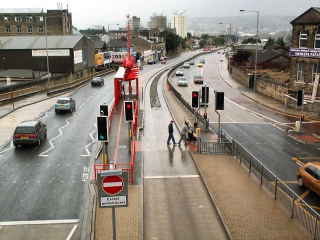
If you want to use public transport, West Yorkshire Metro can give you lots of information. This includes: Bradford has a big network of buses and trains. They usually run from around 5am – 11pm, depending on the route. These can be used to get around the city centre or out into other parts of […]

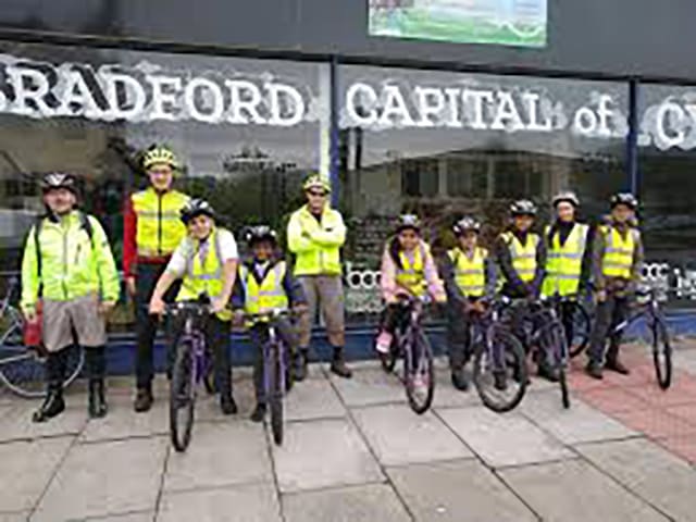
Cycling can be a fun, quick and cheap way to travel around Bradford – and good for your health. Bradford has some cycle routes between different neighbourhoods to the city centre. Some of the main roads in and out of Bradford city centre have cycle lanes or paths to help make cycling safer. They usually […]

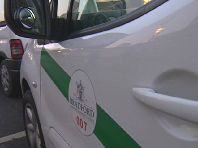
To catch a taxi, you can: There are taxi ranks on many of the main streets, including outside the two train stations.They usually have a sign showing you where to wait. Only Hackney Carriages are allowed to pick up passengers at a taxi rank, or on the street.Bradford Hackney Carriages are always white with a […]

Legal Requirements If you have your own car or motorbike you must have a driving licence, road tax and vehicle insurance. You must also have your car or motorbike checked every year by a mechanic to make sure it is safe to drive. This is called an M.O.T. (Ministry of Transport test). Find out about […]

There are around 40 commercial airports in the UK that run international flights. The Trainline website includes a map to show you where the airports are, and details of how you can travel there. Nearest airports The nearest airport for Bradford is Leeds Bradford Airport. This is about 8 miles from Bradford city centre. Flights […]